
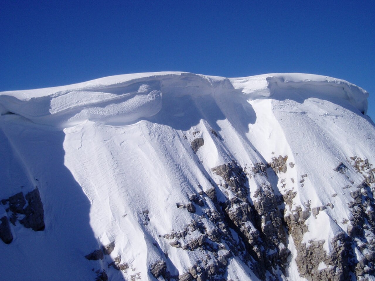
Cliffs, Snowfields, and Glacial Deposits
The north face of Astraka drops roughly 500 metres in near-vertical limestone. Geological field research has mapped angular boulder ridges approximately 10 metres tall at the base of these cliffs, which the researchers interpret as having accumulated along perennial snowfields. Separate glacial remnants have been documented on the south side of the mountain.
Provatina and the Karst Underworld
The Provatina shaft opens on the Astraka plateau and ranks among the deepest vertical cave systems explored in the twentieth century. Cambridge cavers located the entrance in 1962, with the participant report published in 1965. Jim Eyre descended partway into the shaft in 1966. A British Army expedition using a powered winch first reached the bottom in 1968, establishing an explored depth of around 407 metres. Provatina is part of the karst landscape of the Vikos–Aoos Geopark.
The Refuge and the Northwest Face
The Greek Alpine Club opened a refuge facing Astraka in 1966, at an elevation of about 1,900 metres, providing a base for climbers approaching the massif from Mikro Papigo. In 1972, Carl Nater, Renée Fedden, and Robin Fedden climbed a line of approximately 400 metres on the northwest face. Fedden's account describes this as probably the first ascent of that particular line, a qualification applied to the route alone and not to the summit or the broader northwest face.