
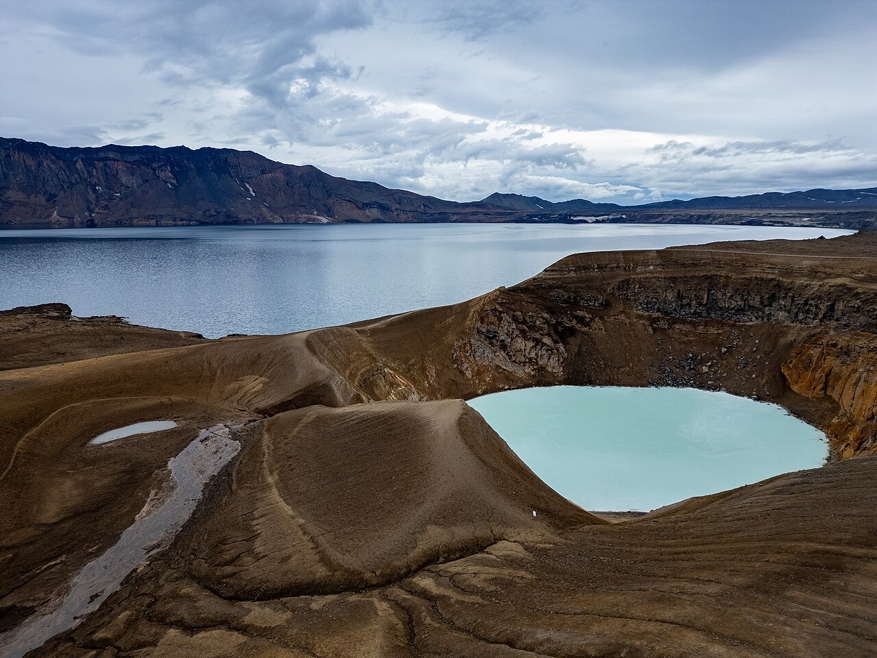
Structure and Elevation
The Icelandic Meteorological Office records a maximum elevation of 1,516 m for the Dyngjufjöll complex, a figure that refers to the caldera rim rather than any single measured peak, floor, or water surface. Askja itself is a nested system, meaning later collapse events created subordinate basins within the older volcanic structure. Öskjuvatn fills the younger collapse basin that began opening during the 1875 eruption. Víti is a separate and much smaller crater adjacent to Öskjuvatn, distinguished by pale, geothermally heated water.
The 1875 Eruption and Ash Dispersal
On 28–29 March 1875, the explosive eruption sent ash across eastern Iceland and onward to Scandinavia. Researchers have identified microscopic shards from that eruption in Swedish lake sediments and on the floor of the Baltic Sea. The ash provides a dated layer that helps correlate sediments from distant sites.
Vikraborgir and Later Activity
In 1961 an eruption within the caldera produced the Vikraborgir crater row and an associated lava field, as recorded in the Smithsonian Global Volcanism Program archive. The Vikraborgir vents extend the documented eruptive history of the system well into the twentieth century. Vatnajökull National Park describes the broader lava fill within the caldera as evidence of multiple eruptive episodes accumulating over geological time inside the collapsed structure.