
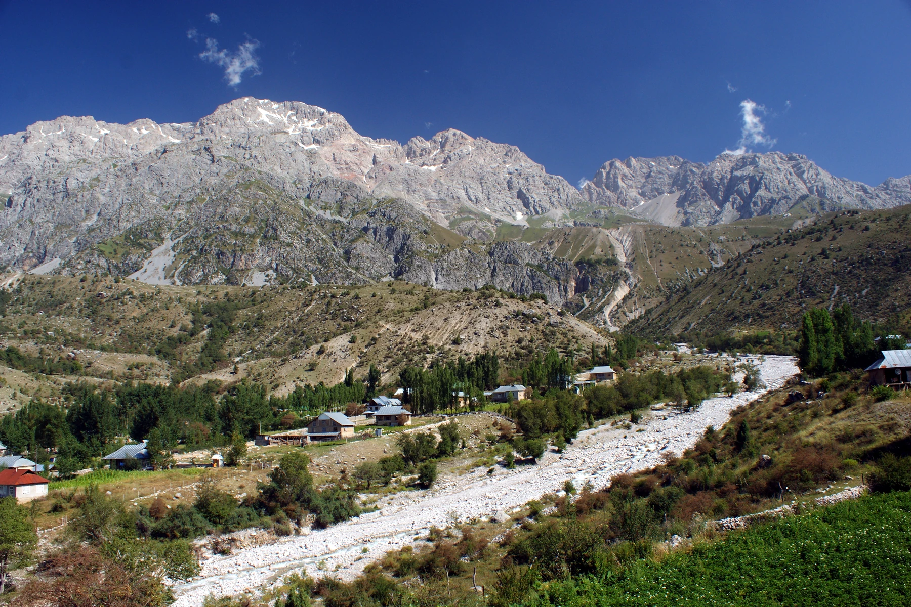
Geology and Terrain
In 2025, Kyrgyz Academy researchers Z. Zh. Madalieva and A. Zh. Dosbaev described Middle and Late Paleozoic limestone, marl, and shale in the Arslanbob gorge, along with loose deposits laid down on slopes or carried by water.
The 2023 Kyrgyz state-language geographical dictionary records Arstanbap as a toponym on the Babash-Ata range and names its south-slope valley and the village as separate entries. The Kyrgyz Water Resources Service places the headwaters of the Arslanbob River in the Babash-Ata range, with the river joining the Kyzyl-Unkur downstream to form the Kara-Unkur-Sai.
Forests and Pastures
Common walnuts (Juglans regia) grow across the wooded foothills alongside wild fruit trees including apple and pear. The official 2025 geographical indication for Arstanbab wild walnuts describes gathering conditions roughly between 1,100 and 2,000 metres, and higher slopes carry open pastures and mountain meadows.
A 2011 field study by Peter Borchardt and colleagues used 395 vegetation plots in the Arslanbob region to identify four distinct upland pasture plant communities. Their analysis associated differences in community composition with altitude, slope angle, heat load, and grazing pressure, with the sampled pastures spanning roughly 1,800 to 3,200 metres in elevation.
Forest History and Protection
Before Russian administration, Kyrgyz pastoral groups used alpine grasslands and collected nuts and fruits as they moved through the forests on routes between Toktogul and the Fergana Valley, as Matthias Schmidt's historical study documents. Forest specialists examined the regional mountain woodlands between 1889 and 1897, after which an 1897 law placed them under the Russian Forest Service as state property. A 1945 Soviet decree designated the walnut-fruit woodland a reserve, managed in subsequent decades by local state forestry enterprises.
After Kyrgyz independence in 1991, local employment patterns shifted and dependence on forest resources increased, as Schmidt documents. The regional office describes a protected landscape that encompasses Babash-Ata, Köl-Mazar lake, and the valley's waterfalls.
Sacred Landscape and Oral Tradition
Between 2011 and 2012, Jennifer Rose Webster recorded accounts of Arslanbob Ata from residents and pilgrims at the site, with findings published in her 2015 University of Washington dissertation. Her research describes a sacred landscape encompassing waterfalls, small caves, lakes, and the village shrine, and documents narrators linking stories and religious practice with the importance of caring for the surrounding forest.
Webster identifies the tomb and ritual house in the village and the waterfall areas with their associated caves as places of pilgrimage and visit. These sites extend from the village itself into the higher terrain of the Babash-Ata ridges, connecting the settled valley floor with the more elevated landscape above.