
Survey History
A historical Nevada outdoors article attributes stone ruins near the summit to a crew working under A. F. Rodgers during the 1878 Coast and Geodetic Survey. NOAA records that triangulation of this era involved establishing lines of sight and measuring angles among high stations to construct a geographic reference network, making elevated summits like Arc Dome practical anchors for such work.
Arc Dome Wilderness
Congress designated Arc Dome Wilderness in 1989, protecting the high crest and its surrounding terrain. Nevada Department of Wildlife identifies Arc Dome as the Toiyabe Range high point in research on mountain habitat, and the sharp elevation contrast between the crest and the dry valleys on either side means that alpine environments here are effectively isolated islands within the broader Great Basin landscape.
Toiyabe Range Setting
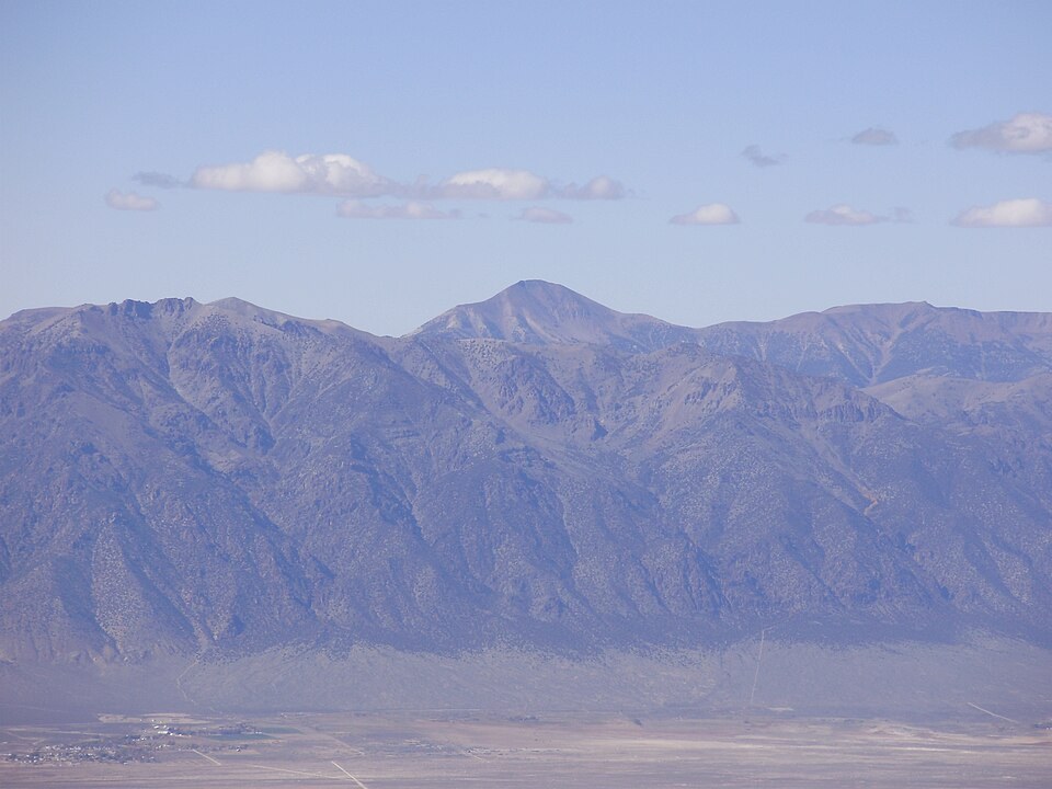
The summit's position above the Big Smoky Valley gives Arc Dome a commanding prominence relative to the surrounding basin-and-range topography. The Toquima Range, from which a well-known photograph of Arc Dome was taken, lies immediately to the east across that valley, illustrating how the parallel north-south ranges of central Nevada frame each other across intervening lowlands.