
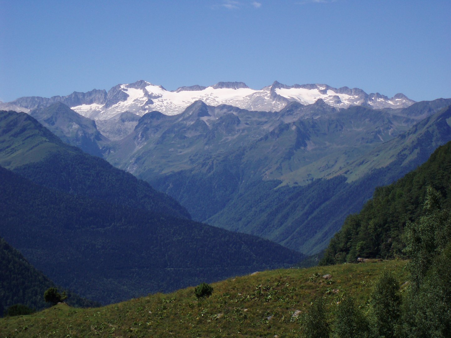
Geography of the summit and the col
The IGN cartography represents the ridge linking Collado de Coronas with the Paso de Mahoma as the reference route to the summit. Between these two points, ice and rock alternate in a relief that the official map renders with precision. The geodetic vertex of the 2022 campaign sits on the summit rock itself, and the official altitude recorded on the cartographic sheet is 3,404 metres. Studies such as that of Olalde et al. reaffirm this status as the highest point in the Pyrenees.
The Paso de Mahoma, an exposed section of the ridge leading to the summit, forms part of the distinctive landscape of Aneto and has been mentioned in mountaineering literature since the nineteenth century. The orientation of the col and the ridge, running west to east, largely determines the dynamics of the ice and snow accumulated in the vicinity of the glacier.
The Aneto glacier: measurements and recent history
The Aneto glacier is the largest in the Pyrenees and has been the subject of systematic monitoring over decades. Vidaller et al. quantified its evolution between 1981 and 2022 by combining historical aerial photogrammetry with modern remote sensing. The data of Olalde et al. specify that the glacial surface shrank from 132 hectares in 1984 to 47.9 hectares in 2022, a reduction documented by independent methods.
These figures correspond to measurements taken at specific points in time and should be read as historical records. The Posets-Maladeta Natural Park, within which the glacier lies, was the institutional setting in which Olalde et al. analysed the cultural and scientific significance of the Pyrenean ice masses. The Autonomous Community of Aragon classified the Pyrenean glaciers as natural monuments in 1990, through legislation published in the Boletín Oficial de Aragón, thereby recognising their value as natural heritage.
Natural heritage and cultural dimension
Olalde et al. address the glaciers not only as geophysical phenomena but as cultural and scientific resources of significance to local communities. Their progressive disappearance, documented by the measurements cited, entails a transformation of the landscape that goes beyond the strictly geomorphological. The Posets-Maladeta Natural Park, declared a protected area, is the setting in which these processes coexist with the traditional uses of the land.
The status of natural monument, established by the Aragonese law of 1990, grants the Pyrenean glaciers a specific legal standing within the Spanish legal order. This legal category was pioneering in the formal recognition of ice masses as elements of natural heritage, anticipating debates that are today being conducted in broader contexts.