
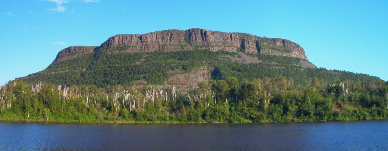
A Layered Landscape
The Ontario Geological Survey describes a resistant diabase cap overlying softer sedimentary rock. Diabase weathers far more slowly than the layers beneath it, so as surrounding terrain eroded, the cap preserved the elevated platform above. This differential resistance explains the level summit plateau and the abrupt escarpment where hard rock meets softer substrate.
Fort William First Nation and Anemki Wajiw
Fort William First Nation, whose reserve lands surround the mountain, regard Anemki Wajiw as a place of cultural significance. The Ojibwe name is maintained by the community alongside the federal dual designation recorded by Natural Resources Canada, publicly presenting the mountain as integral to their territory and heritage.
A Promontory of the Nor'Westers
Anemki Wajiw projects southward from the Nor'Wester Mountains, which form the backdrop to Thunder Bay's western edge. Its promontory form — jutting outward from the range rather than receding into a continuous ridgeline — gives the summit an isolated quality. The dual official name pairs the First Nation's Ojibwe designation with the colonial-era place name.