
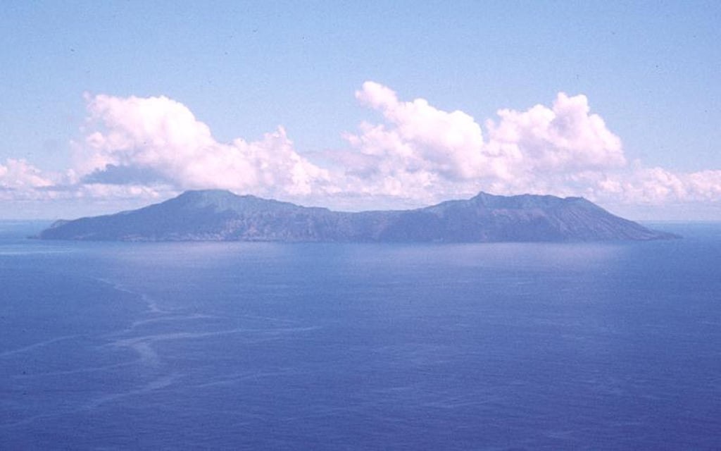
Island Form and Summit
Anatahan extends roughly 9 kilometers and is defined by a compound caldera approximately 5 kilometers long. The Global Volcanism Program places the island's highest point at about 790 meters on the western rim — structurally older and elevated above the eastern caldera, which forms a distinct depression within the same system.
The 2003 Eruption
Anatahan's first documented historical eruption began on 10 May 2003 in the eastern caldera. Residents had been evacuated beforehand due to earthquake activity, before any eruptive event occurred. The active vent thus lies in the eastern basin, well apart from the high western rim that marks the island's summit.
2005 Satellite Imagery
NASA Earth Observatory imagery from 2005 recorded a plume of ash and steam extending over the ocean — a separate episode from 2003. Satellite observation traces dispersal under prevailing atmospheric conditions rather than capturing the vent directly, documenting how far erupted material traveled across the western Pacific.