
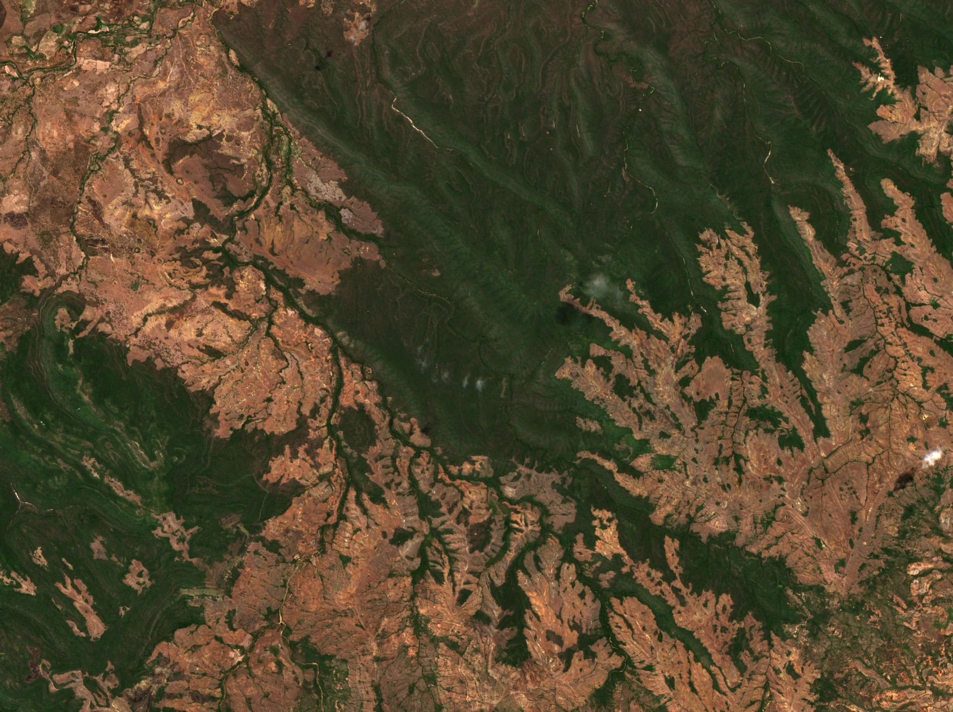
Geology and Landforms
The dominant formations of the plateau are marly and marly-limestone; sandstones appear in the southern sector. Basalts associated with the Amber Mountain run only along the north-western edge of the massif. These contrasting lithologies govern the overall morphology: limestone cliffs and karst flats on the heights, more dissected slopes towards the deeply incised valleys cut by the drainage network.
The Bobakindro River crosses the reserve from south to north before joining the Irodo. According to the 2020 dossier, forest cover is denser in the valleys and on north-facing slopes, which receive more moisture. On the plateaus, low thickets occupy the drier ground.
Protected Status
Decree No. 56-208 of 20 February 1956 established the special reserve, which covers 34,700 hectares. The 2020 ministerial dossier describes the plateau and its forests in the context of a proposal to extend the World Heritage property.
In 2023, the World Heritage Committee adopted Decision 45 COM 8B.2: it approved the extension of the property to include two special reserves and three national parks, and renamed the ensemble "Dry Forests of the Andrefana". The original World Heritage inscription dated to 1990 and concerned the Tsingy de Bemaraha; Analamerana was thus associated with it in 2023.
Fauna and Field Research
A pilot study conducted from 7 June to 4 August 1998, published in Lemur News in 1999 by Mayor and Lehman, located three groups of Perrier's sifaka (Propithecus perrieri) in the reserve, including two groups habituated to observers. The method consisted of focal observations with recording of behaviour and canopy height at five-minute intervals.
In Animal Conservation in 2007, Banks and colleagues published an estimate of 3.11 Perrier's sifakas per square kilometre, based on transects in two forests within the reserve.