
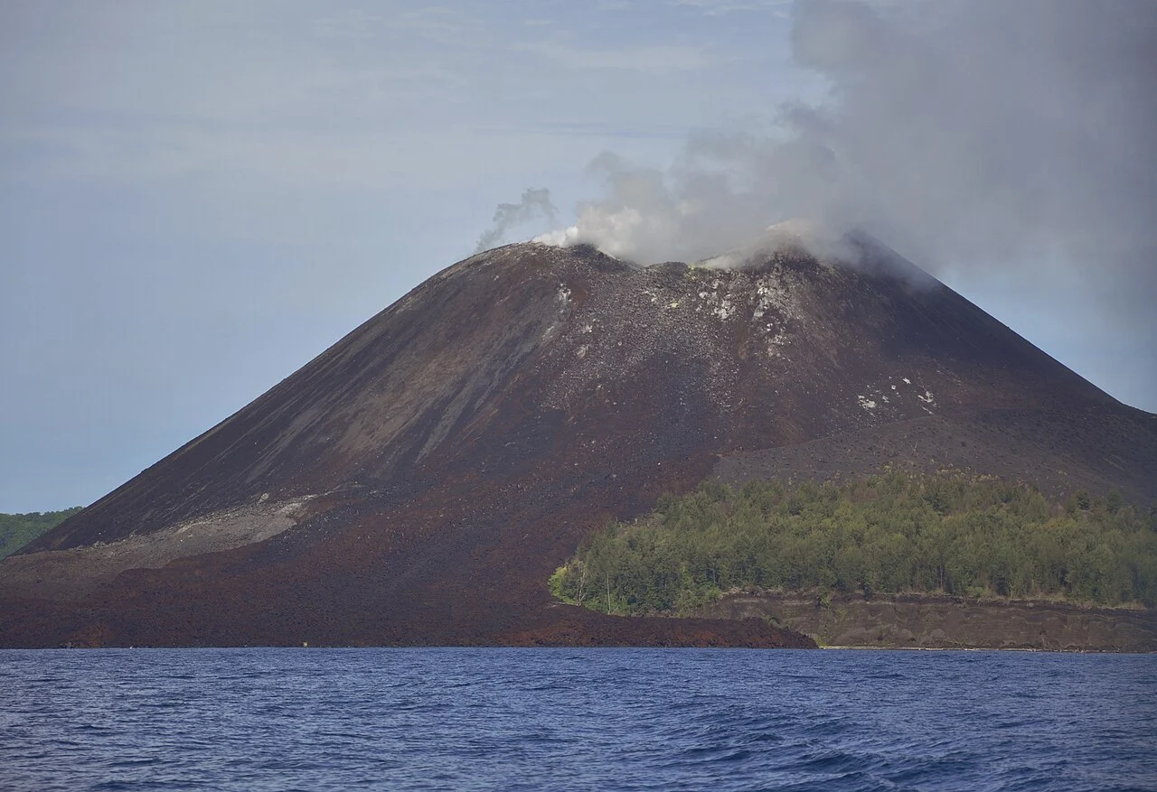
A Cone Born from Catastrophe
The 1883 destruction of the original Krakatau was one of the most violent volcanic events in recorded history, leaving a submerged caldera in the middle of the Sunda Strait. It was within that caldera that activity resumed decades later, building new land through accumulated lava, ash, and pyroclastic material. The cone that emerged in 1928 represents a type of volcanic construction known from other ocean-island systems, where repeated eruptions gradually raise the seafloor vent above sea level — a process the Sunda Strait environment continued to drive across the following decades.
By the years before December 2018, the cone had grown considerably from its origins, with the pre-collapse structure cited at approximately 338 m. That figure itself reflects how substantially Anak Krakatau had accumulated mass in the ninety years since its first appearance — and how dramatically a single event could erase that accumulation.
The 2018 Flank Collapse and Tsunami
On 22 December 2018, a portion of Anak Krakatau's southwestern flank slid into the Sunda Strait in a large-scale volcanic flank collapse. Research published in Science Advances, drawing on radar and broadband seismic observations, documented how the sliding material displaced the water and generated a tsunami that struck the coastlines of both Java and Sumatra. The event illustrated a hazard distinct from lava flows or ash fall: flank instability in an island volcano can transmit destructive energy across open water with little conventional warning.
In the weeks that followed, Smithsonian reports described the volcano continuing to erupt, producing ash and steam explosions and exhibiting Surtseyan activity — the explosive interaction of rising magma with seawater that is characteristic of shallow submarine and near-sea-level vents. The collapse had exposed the conduit system to the sea, and the new shoreline and vent geometry were actively being reworked by both eruptive material and wave action. The Smithsonian Krakatau profile reference elevation of 285 m reflects the post-collapse state of the cone.
Ecology and the UNESCO Volcanic Landscape
The Krakatau islands sit within the Krakatau Nature Reserve, which UNESCO includes as part of Ujung Kulon National Park — a World Heritage property on the western tip of Java. UNESCO's designation highlights not only the volcanic landscape itself but also the biological succession that has been underway since 1883, when the original island's destruction left bare rock and ash across the archipelago. The subsequent colonization by plants, insects, birds, and reptiles has made the Krakatau group one of the most studied examples of ecological recovery from complete biological reset.
That succession story is inseparable from the geology of the broader archipelago. UNESCO has documented biological succession across the Krakatau islands following the 1883 eruption, a process that continues on substrates periodically reset by volcanic activity, including the 2018 flank collapse. The interplay between an actively growing cone and ecosystems establishing themselves on its flanks gives Anak Krakatau a character unlike any dormant or extinct volcano.
Position in the Sunda Strait
Anak Krakatau sits at approximately 6.10°S, 105.42°E in the Sunda Strait, the narrow seaway connecting the Java Sea to the Indian Ocean. This position between Java and Sumatra places it within a region of significant volcanic activity. The strait's geography means that hazards originating at Anak Krakatau — particularly tsunami-generating flank collapses — can reach densely populated coastlines on either side within minutes.
Indonesia's PVMBG monitors Anak Krakatau as an active system, with the Smithsonian Global Volcanism Program compiling reported eruptive episodes dating to 1927. Post-2018 observations confirm that the cone, profiled at 285 m, has been rebuilding following the flank collapse — a structure that has grown, partially destroyed itself, and begun reconstructing on the same cycle documented throughout its history.