
Geology and Terrain
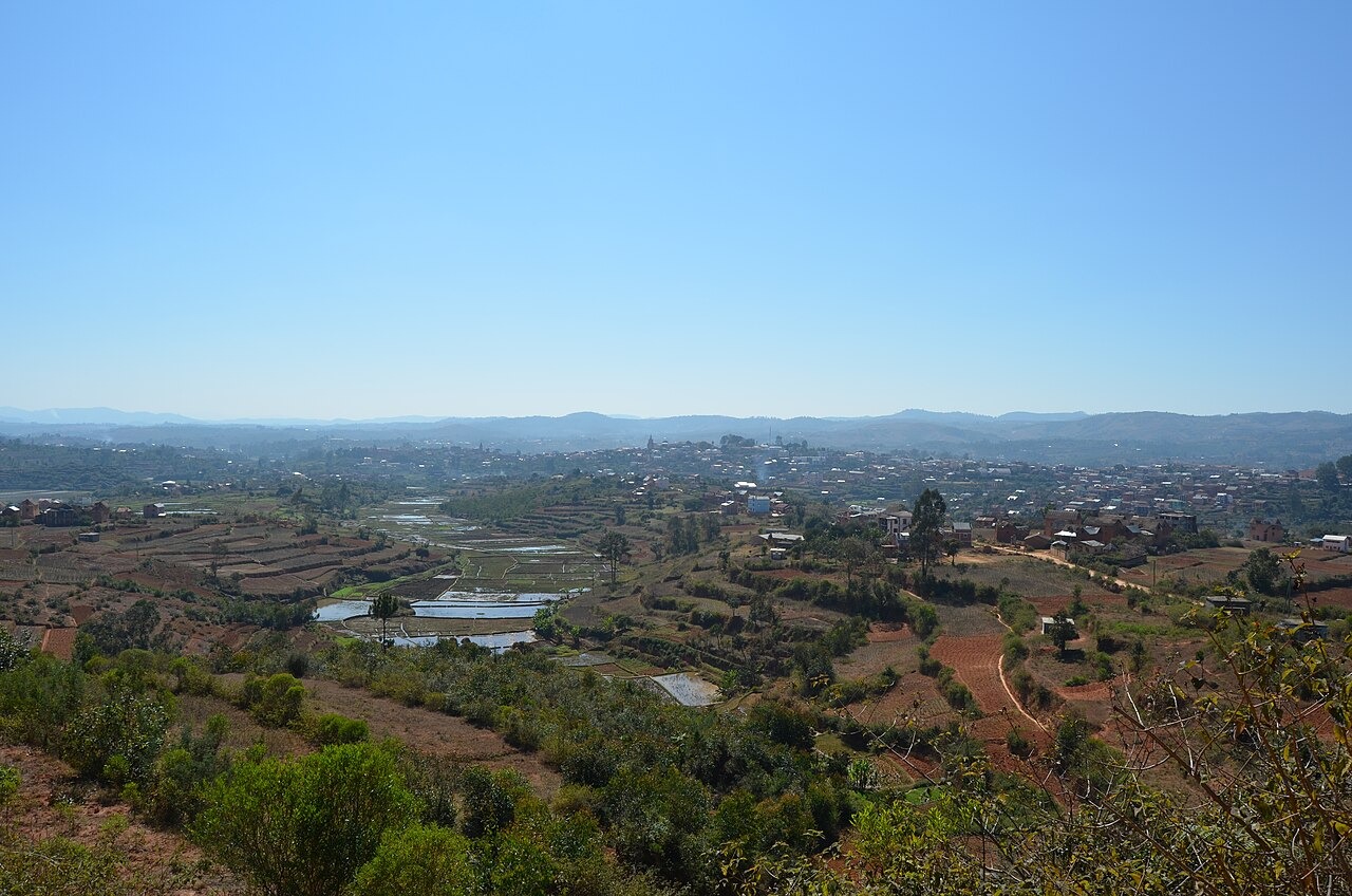
Government mapping of the Ambositra and Fandriana hill country describes a crystalline rock foundation with locally mapped granitic and migmatitic formations underlying the upland surface. The ferrallitic soils that develop on these rocks are discontinuous across slopes, reflecting the variable depth and weathering history of the highland terrain. Eastern slopes descend from this central plateau toward the escarpment country that borders Madagascar's humid forest zone.
Forest Corridor
The Ambositra–Vondrozo protected corridor spans multiple districts and connects the Ambositra hills to the broader eastern forest landscapes of Madagascar. The historical protected-area catalogue records former Antoetra forest reserves established in 1944 and 1945, predating the modern corridor designation. This corridor is geographically distinct from the town of Ambositra itself, running through the forested escarpment country to the east.
Zafimaniry Settlements
UNESCO inscribed the woodcrafting knowledge of the Zafimaniry on its Representative List of the Intangible Cultural Heritage of Humanity in 2008, following an earlier proclamation in 2003. According to UNESCO, the Zafimaniry settled in the wooded mountain areas of this region in the eighteenth century. Their built heritage is characterized by distinctive joinery techniques, intricately worked wooden shutters, and elevated granaries set on round piles, all documented in upland settlements within the highland forest zone.