
Architecture of the Shield
The island's pronounced northeast–southwest orientation is not simply a matter of coastal shape — it reflects a fundamental rift system beneath the shield, along which volcanic vents have aligned over time. This rift geometry distinguishes Ambae from more symmetrical volcanic islands and helps account for the elongated pattern of eruption centres along the island's axis. As a basaltic shield, the volcano has built its mass through successive outpourings of relatively fluid lava rather than through the explosive paroxysms associated with steeper-sided stratocones, giving it a broad, gently sloping profile.
Nested Calderas and the Summit Lakes
The summit region of Ambae contains a succession of nested calderas, the overlapping remnants of multiple collapse events that have punctuated the volcano's long history. Within this caldera complex sit three crater lakes: Manaro Ngoru, Voui, and Manaro Lakua. The lakes occupy distinct basins and represent separate features within the summit landscape. Inside Lake Voui, a tuff cone — built from explosive interaction between magma and water — has formed, adding further complexity to an already layered summit environment.
The 2017 Eruptive Episode and Regional Context
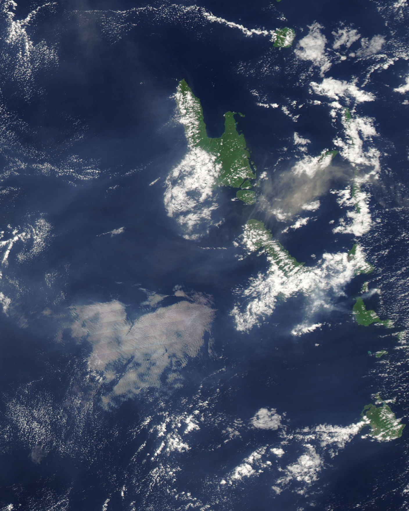
In September 2017 NASA’s MODIS instrument recorded an eruptive plume over Ambae. The satellite image also shows the separate islands of Ambrym and Lopevi farther south. The image captures one episode in the history of an island built by eruptions over a far longer period.