
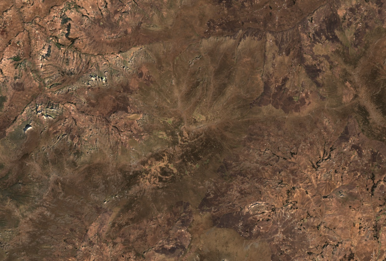
Summit Ridge and Recorded Elevations
The Amhara regional planning commission records Amba Farit at 4,247 m, while a regional climate study cites 4,261 m for the same peak, and the CIFOR-ICRAF atlas reports 4,270 m. Natural-colour Sentinel-2 imagery from 22 January 2025 shows the summit as a broad ridge with sharply dissected slopes descending on multiple sides, a landform pattern consistent with the high-relief terrain of western South Wollo.
Elevation Gradient and Rainfall Seasons
South Wollo's terrain descends from the Amba Farit massif at above 4,200 m to eastern plains at roughly 930 to 1,000 m, a transect that anchors a primary weather station study of the region's climate. The shorter Belg rains fall roughly from February through May, and the larger Kiremt rains arrive roughly from June through September. Frost is documented as common in the high country of Wollo.
Afroalpine Habitat and Ethiopian Wolf Surveys
Field surveys conducted between 1997 and 2000 documented Ethiopian wolves (Canis simensis) across scattered Afroalpine habitats in South Wollo. Research published in 2018 mapped areas sampled through pastoralist interviews across the highland belt, including the Borena Sayint area and a proposed extension, examining how livestock and predator populations coexist in these high-elevation zones. The surveys describe the South Wollo Afroalpine zone as one of the isolated highland habitats this species occupies in the region.