
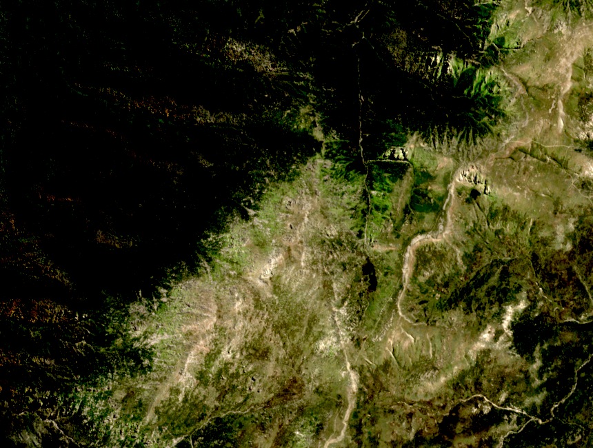
Two Names, One Summit
The 1981 regional map of the Kosciuszko area labels this high point as Mount Alice Rawson, while Geoscience Australia's national height list records it as Alice Rawson Peak. Both names refer to the same 2,160 m summit; the difference reflects distinct cartographic conventions applied at different times rather than a surveying dispute.
Distinct from Mount Townsend
Alice Rawson Peak sits forty-nine metres below Mount Townsend at 2,209 m to its south. Geoscience Australia's qualifying criteria require topographic independence, not mere elevation, so both high points on this continuous ridge appear as separate entries. A traversal of the ridge encounters two named, individually listed summits within a compact section of high country.
Glacial Landscape of the Kosciuszko Massif
Alice Rawson Peak lies within the Kosciuszko Massif, the region of the Australian Alps where late Pleistocene glaciation left the clearest imprint on the continent. Research documents how ice shaped these elevated landforms during the last glacial period, and the ridge connecting Alice Rawson Peak and Mount Townsend exists within this glacially formed landscape.