
Naming and the 1906 Abruzzi Expedition
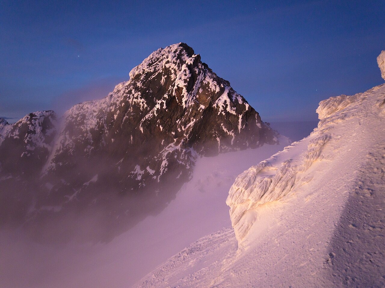
Luigi Amedeo, Duke of the Abruzzi, led the expedition to the Rwenzori in 1906, and the Royal Geographical Society published the account in 1907. On 18 June 1906 the team reached both Alexandra and Margherita peaks. The duke named Alexandra Peak for Queen Alexandra, consort of King Edward VII. On 20 June the party returned to Alexandra and subsequently ascended Elena and Savoia peaks.
Sella's Photographic Record from Lake Bujuku
Vittorio Sella, the expedition's photographer, captured Mount Stanley from Lake Bujuku and captioned the image with both Alexandra and Margherita named distinctly. That photograph became a primary reference for identifying the twin summits and appeared in the 1907 Royal Geographical Society report, providing durable documentary evidence of the peak configuration observed during the expedition.
Alexandra Glacier on the Congo Slope
A Journal of Glaciology survey of Rwenzori ice describes Alexandra Glacier descending westward in a series of steps on the Congo side of the massif. The U.S. Geological Survey African glaciers atlas maps Alexandra's own ice as a distinct body, separate from the ice fields associated with Margherita. These institutional records document the glacier's form and position as observed at the time of their respective surveys.