
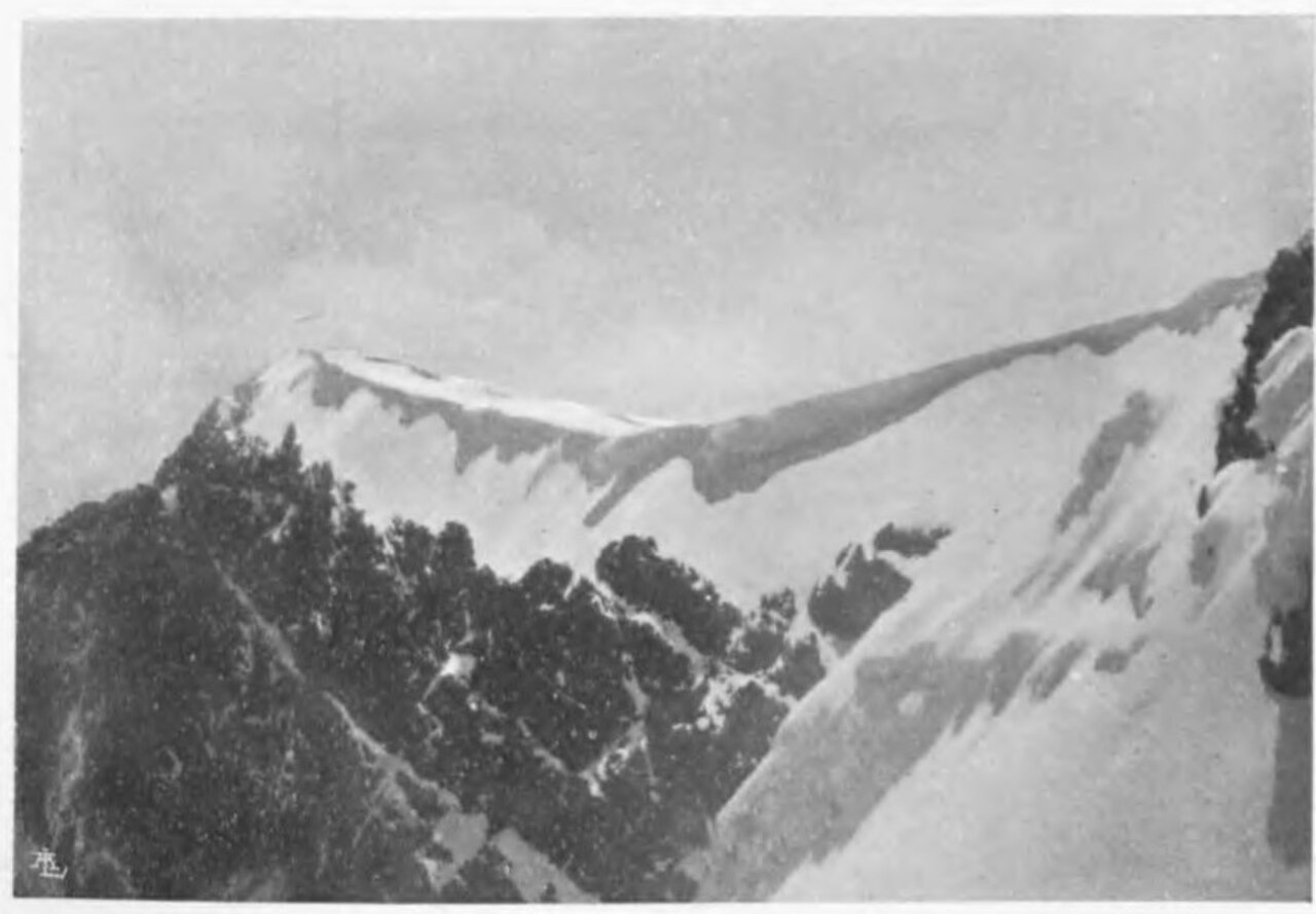
1932 Belgian Ascent and Naming
The first recorded ascent was made on 28 July 1932 by Xavier de Grunne and J. de Vallée-Poussin of the Belgian Rwenzori expedition, via the northwest ridge from the then Belgian Congo side. The summit was named Pointe Albert, with the route documented in the Uganda Journal's peak inventory. The American Alpine Journal published the expedition's report in 1933, identifying Albert as a separate summit within the Stanley massif.
Albert Glacier on the Northeast Ridge
Historical glaciological surveys document an ice mass overhanging the northeast side of the ridge between Margherita and Albert, recorded in the literature as Albert Glacier. The 1932 expedition report noted that favorable conditions supported detailed surveying of this ice during the same fieldwork season. Photographic comparisons and field surveys published in the Journal of Glaciology have tracked changes to Rwenzori ice masses, including this glacier, at the range-wide scale.
Mapping and Designation
Douglas Busk's 1959 account in the Alpine Journal contributed to systematic mapping of the Rwenzori peaks, providing positional clarification for summits including Albert across the Stanley group. Uganda Wildlife Authority maintains the current peak inventory for Rwenzori Mountains National Park, inscribed as a UNESCO World Heritage Site in 1994 on the Ugandan side of the range and contiguous with the separately listed Virunga National Park in the Democratic Republic of Congo, citing the 5,087 m elevation figure for Albert Peak.