
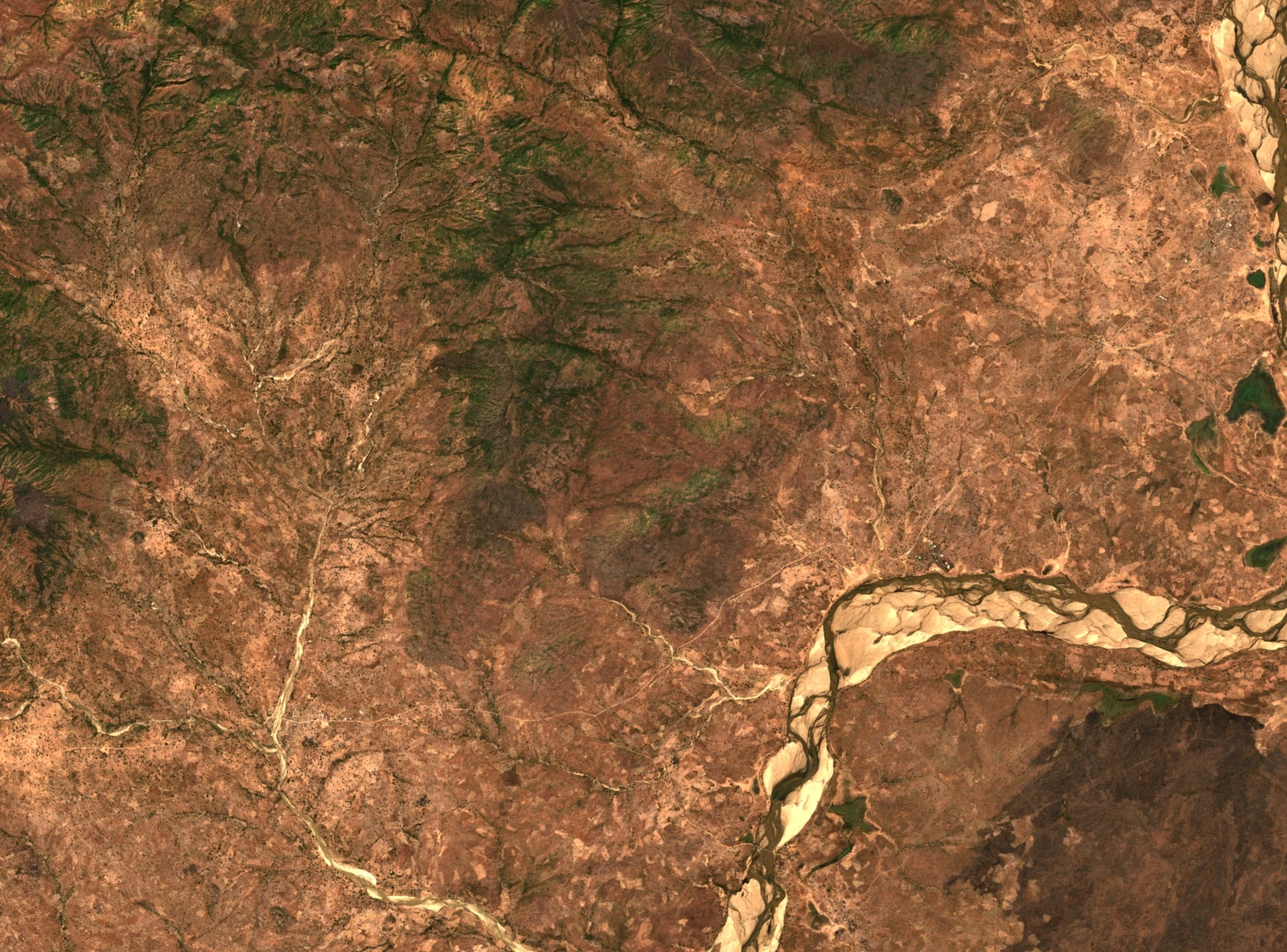
Granite Relief and the Faro Plain
An ORSTOM survey mapped the Alantika massif as calc-alkaline porphyritic granite and recorded approximately 1,400 m of relief. A regional study published in 1975 gives its elevation as 1,885 m. At the eastern foot, the Béka municipality's development plan distinguishes shallow, rocky soils below the slopes from sediment deposited across the Faro floodplain. The photograph shows pale sandbanks on the river at right.
On 24 January 1965, J. and A. Raynal collected a specimen of Echinops gracilis on a rocky slope above the Aiguille de Saptou near Nakalba. The Muséum national d’Histoire naturelle in Paris holds it under catalogue number P00159855.
Farming Terraces and Koma Pottery
Bjarke Paarup-Laursen documented Koma communities growing millet and sorghum on steep terraced slopes in the Alantika Mountains. The fields follow the contours above the foothills, on land that the Béka municipal survey describes as rocky and shallow-soiled.
For his 1999 study, Olivier Gosselain drew on fieldwork conducted in the Faro department in the winter of 1995–96. The survey included thirteen Koma Ndera potters from Bogue, Guédé and Djelepo. Comparing how they made pottery helped the researchers trace ties between communities through everyday objects.
A Watershed on the Maps
The 1929–1930 Thomson–Marchand Declaration described the border as following the divide between the Benue and Faro catchments in this area. Cameroon and Nigeria submitted maps that drew the divide differently. In its 10 October 2002 judgment, the International Court of Justice confirmed the watershed as the boundary in the Maio Senche sector. The ruling shows how a ridge on the ground can be drawn differently on maps.
A Disputed Mark on Rock
A 1953 field report by Henriette Alimen and P. Lecoq described intersecting grooves seen on a rock surface in 1949. Nicolas S. Tchandeu’s later review describes a dispute over whether the marks were made by humans. Their origin remains uncertain.