
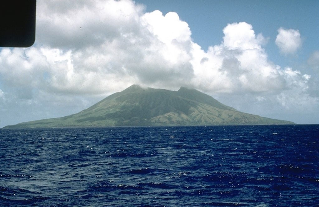
Structure and Summit
Alamagan is a stratovolcano whose exposed summit reaches 744 meters, with a crater approximately 350 meters deep. Only the upper portion rises above sea level, the broader edifice continuing below the ocean surface. A large graben — a downfaulted block — cuts into the southwest flank, distinct from the summit crater above.
Lava Flows and Pyroclastic Deposits
A basaltic-andesite lava flow extended the north coast, adding land through effusive rather than explosive activity. Pyroclastic-flow deposits elsewhere on the island date to roughly a thousand years ago, established through charcoal samples collected during 1992 USGS fieldwork. The two landforms record different eruptive styles and are not contemporaneous.
Mapping and the Historical Record
USGS researchers mapped Alamagan's geology in May 1992, formalizing the spatial relationships among the crater, graben, coastal lava, and pyroclastic zones. Eruptions listed in the historical record carry uncertainty; the GVP and USGS treat reported events cautiously, as documentation for this remote, uninhabited island remains fragmentary.