
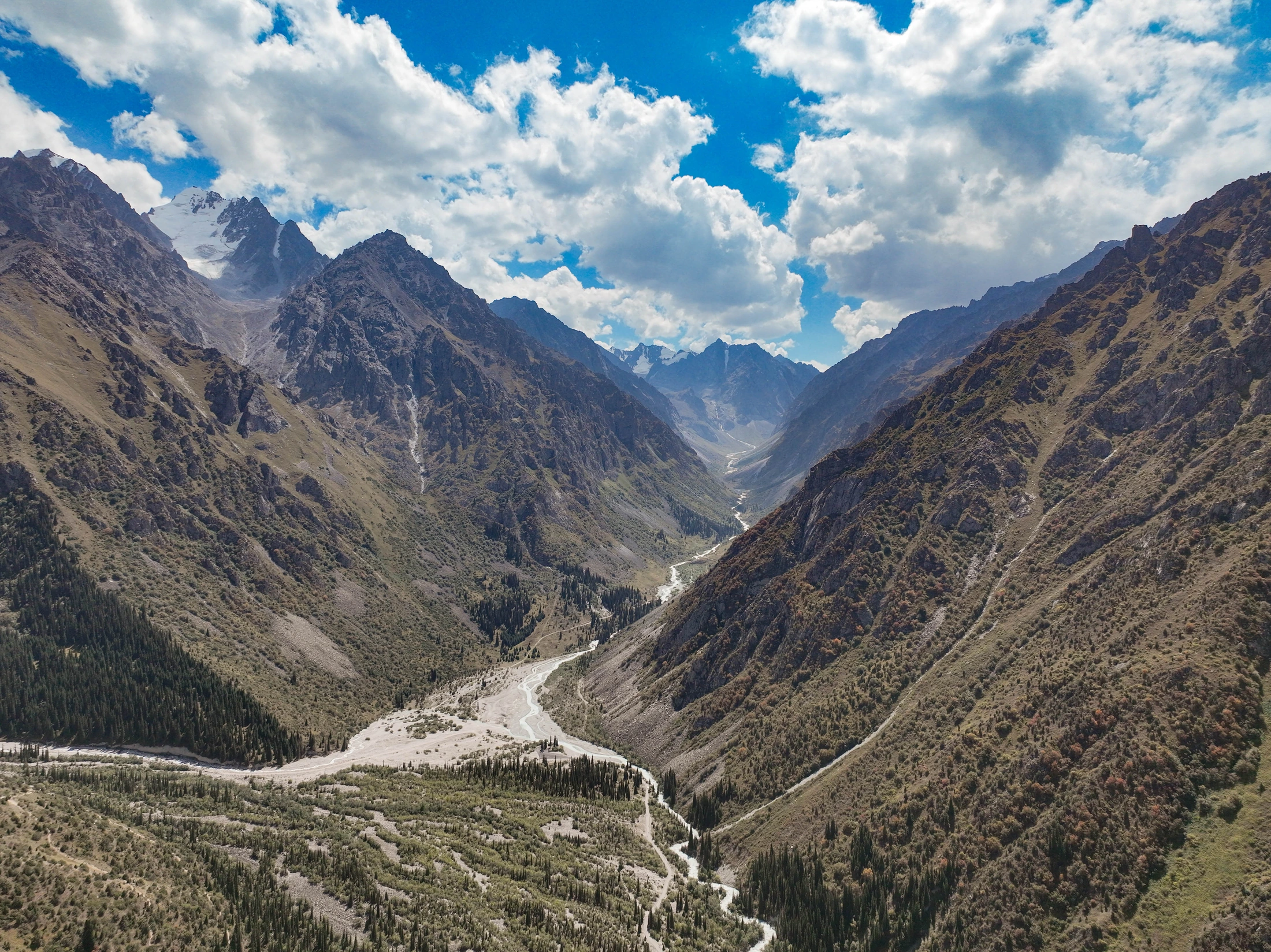
Name and Woodland Character
The Kyrgyz name pairs ala, meaning mottled or variegated, with archa, meaning juniper, reflecting the character of the vegetation found throughout the park. A 2023 survey by Yuri Barvinok and colleagues, published by the National Academy of Sciences of the Kyrgyz Republic, documented four juniper taxa using the names Juniperus sibirica, Juniperus sabina, Juniperus pseudosabina, and Juniperus semiglobosa.
At middle elevations the juniper stands are open, with individual trees spaced roughly 5 to 10 metres apart. The 2023 study records the upper edge of a tree-form juniper stand at 2,640 metres in one investigated section of the park, and low river terraces support birch, willow, and sea buckthorn.
Glaciated Upper Basin and Climbing Summits
According to the Kyrgyz Alpine Club regional guide, rocky ridges form a horseshoe around the Ak-Sai, Nauka, and Uchitel glaciers in the upper canyon. Korona, Svobodnaya Korea (Free Korea), and Uchitel are among the distinct peaks recognised within this upper basin. The club gives Korona an elevation of 4,855 metres and Semenov-Tian-Shansky Peak an elevation of 4,895 metres.
The Kyrgyz Alpine Club guide records the climbing history of the Ak-Sai glacier area, where its account describes climbers taking more than 160 routes along the ridgelines and faces above the glacier basins. The guide's account also describes the Ak-Sai stone hut at Razek Camp and the huts at Korona and Nauka.
Golubin Glacier Observations
Golubin Glacier lies within the Ala-Archa river catchment. A study by Erlan Azisov and colleagues documents length observations beginning in 1861 and records that the glacier terminus retreated nearly 1.3 kilometres by 2016, measured as horizontal distance moved over that observation period. The same paper gives the glacier surface area as 5.42 square kilometres in 2018.
According to the Central Asia Mountain Observatory Network, Golubin Glacier has a continuous direct mass balance record from 1969 to 1994. Monitoring resumed in 2010 through the Central Asian Institute of Applied Geosciences, Kyrgyz Hydromet, the University of Fribourg, and the German Research Centre for Geosciences.