
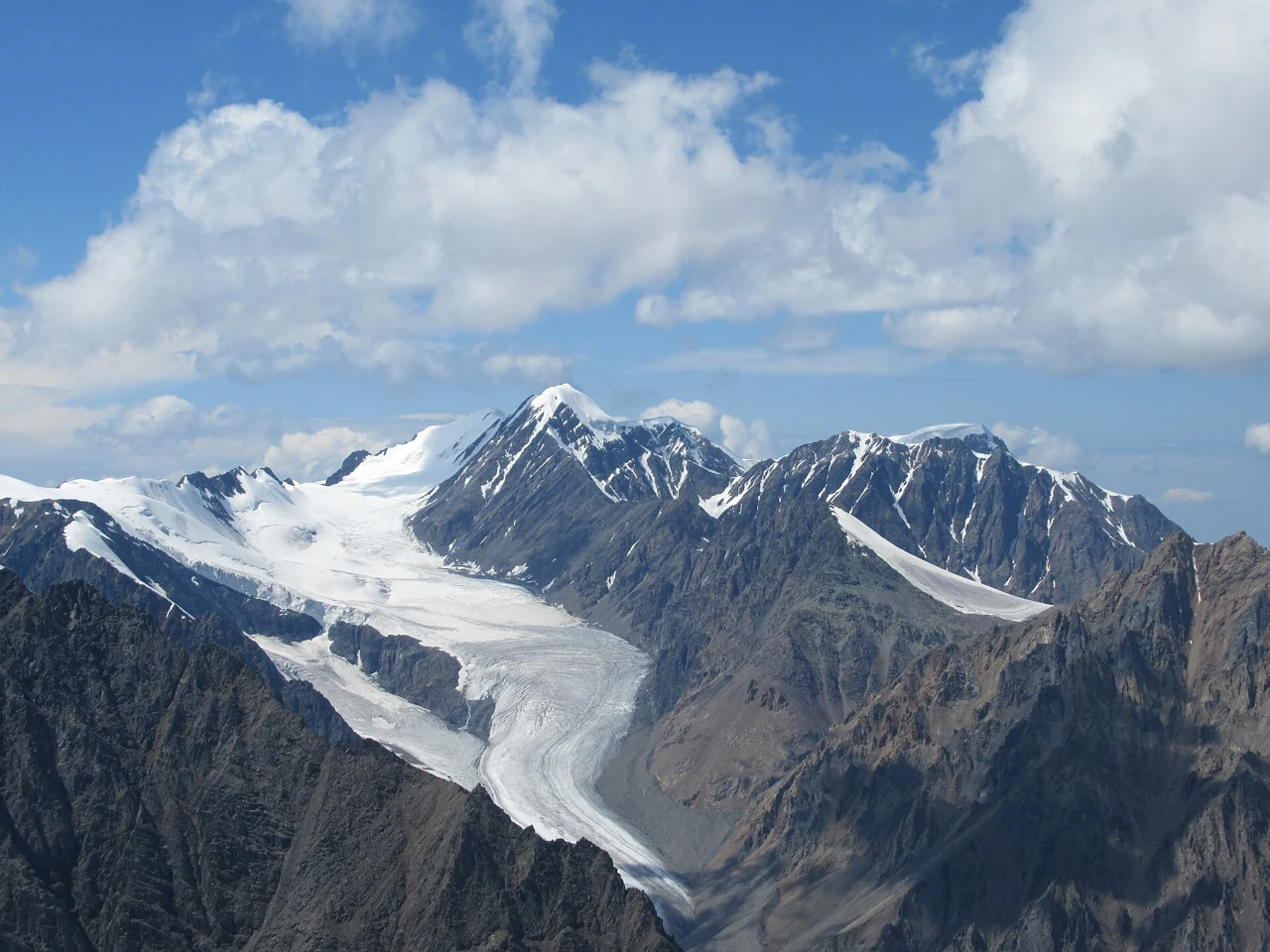
Position Above the Aktru Glaciers
Aktru-Bash stands at the ice divide of the Aktru basin, the topographic high point above which glacier ice separates into distinct drainage lobes. The Bolshoy Aktru Glacier, the largest of these bodies, descends from below the summit. A photograph taken in 2019 by AlexeyBaturin shows Aktru-Bash together with the Bolshoy Aktru Glacier, documenting the relationship between the summit and the ice as it appeared that year. The Maly Aktru, a smaller peak associated with its own subsidiary glacier, lies nearby within the same basin and is a distinct landform from Aktru-Bash. The Tomsk expedition archive also distinguishes Aktru-Bash from the nearby Maashey-Bash as a separate named peak of the North Chuya Range.
Research Station and Long-Term Observation
Tomsk State University has operated the Aktru Research Station in the valley since 1978, building on a longer observational history in the basin. The international Arctic research network INTERACT lists Aktru among its field sites. In May 2025, Tomsk State University and the Russian Academy of Sciences installed an automated weather station mounted on rock above the nearby glacier surface at 3600 metres. The instrument records incoming and reflected sunlight and thermal radiation, probing how energy exchange at that altitude affects glacier melting.
The North Chuya Range
The North Chuya Range forms part of the central Altai mountain system in the Altai Republic of Russia. The Aktru basin, with its concentration of glaciated valleys, has accumulated a substantial record of glaciological field data through the sustained institutional presence of Tomsk State University. Climate and glacial research in the valley continued from the 1956–57 International Geophysical Year into the period covered by the regional study.