
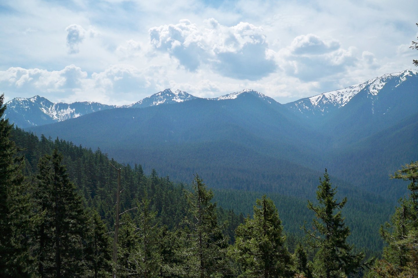
Two summits, one sierra
SEDEMA and CONANP distinguish two high points within the massif: La Cruz del Marqués (3,930 m), which constitutes the main summit, and Pico del Águila (3,880 m), a recognizable landmark of lesser elevation. Both summits form part of the same volcanic sierra and are not interchangeable as altimetric references.
Three glaciations and two Holocene advances
White and Valastro (1984) identified on the slopes of Ajusco three Pleistocene glaciations, named Marqués, Santo Tomás, and Albergue, and two subsequent Holocene advances. The distinction between these episodes rests on the shape and extent of the moraines, the degree of alteration of the glaciogenic materials, and the soils developed on the till and volcanic ash. The ages proposed by the study are minimum or relative. The glaciers no longer persist and the present landscape is postglacial.
Vegetation and national park
The 1936 decree protects the orographic complex and the ecosystems it supports. The middle slopes are dominated by conifer and oak forests. In the upper zones, high-mountain bunchgrass meadows prevail — grasslands adapted to cold and wind.