
Rammed-Earth Architecture and Communal Granaries of the Geopark
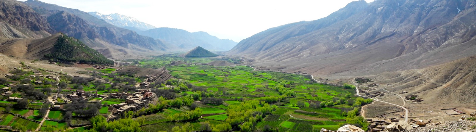
The M'Goun UNESCO Global Geopark identifies the valley as a geosite noted for its rammed-earth residential buildings and communal fortress-like granaries. These structures, documented through the Geopark's Aït Bouguemez geosite record, reflect construction traditions adapted to local materials and collective storage needs. The granary at Sidi Moussa is identified within the Geopark's inventory as a named heritage site within this architectural tradition.
Altitudinal Land Use and Women's Place-Based Knowledge in Surveyed Villages
A field study published in People and Nature recorded an altitudinal gradient of agro-sylvo-pastoral activity across surveyed villages in the valley. Women's land knowledge encompassed apple and potato cultivation on the valley floor, management of wooded slopes at mid-elevation, and seasonal grazing on the upper pastures. The study attributed this layered stewardship to women's direct, place-based engagement with each elevation zone within the surveyed area.
Tizi-n-Aït Ahmed Pass and the Upper M'Goun Valley Connection
At approximately 2,910 metres, the Tizi-n-Aït Ahmed pass marks the topographic boundary between the Aït Bouguemez valley and the upper M'Goun valley. Field research published in the Journal of Cultural Heritage Management treats this pass as the geographic link between two distinct neighbouring landscapes. The pass and the ridgelines enclosing the valley form the upper frame of the inhabited basin below.