
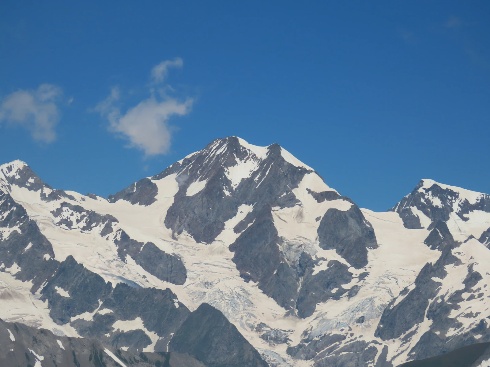
Several summits along a single ridge
In 1900, the Italian Alpine Club published a description by Agostino Ferrari distinguishing three main summits and counting two tops within the central point. The French map today identifies the north-west central aiguille on the ridge. Further to the south-east, the highest point lies at around 3,920 m according to the INGV terrain model with a 10-metre grid. Martino Baretti cites 3,930 m in 1882, a figure also reported in a 2008 glaciological study.
From the eastern point to the central
On 12 July 1864, Anthony Adams Reilly and Edward Whymper climbed two summits with Michel Croz, Michel Payot and Henri Charlet. In his account published in 1865, Reilly explains that he could make out three summits and that it was only on reaching the first that another peak was seen to overtop it. The party traversed the ridge between the two. Ferrari identifies these summits as the eastern and central points.
On 8 August 1878, Martino Baretti reached the central point via the south-west ridge with Jean-Joseph Maquignaz, Augusto and Vittorio Sibille. This ascent opened a distinct route to the same summit.
The scar left on the eastern shoulder
In September 2008, approximately 50,000 m³ of rock broke away from the eastern shoulder at around 3,470 m. The debris travelled down onto the Petit Mont Blanc glacier and part of it accumulated near the confluence with the Lex Blanche glacier.
By comparing photographs of the scar with a 2000 orthophotograph and a map, researchers estimated the maximum displacement at approximately 1,150 m horizontally over 770 m of vertical drop. They set the failure within a landscape of fractured rock and retreating glaciers.