
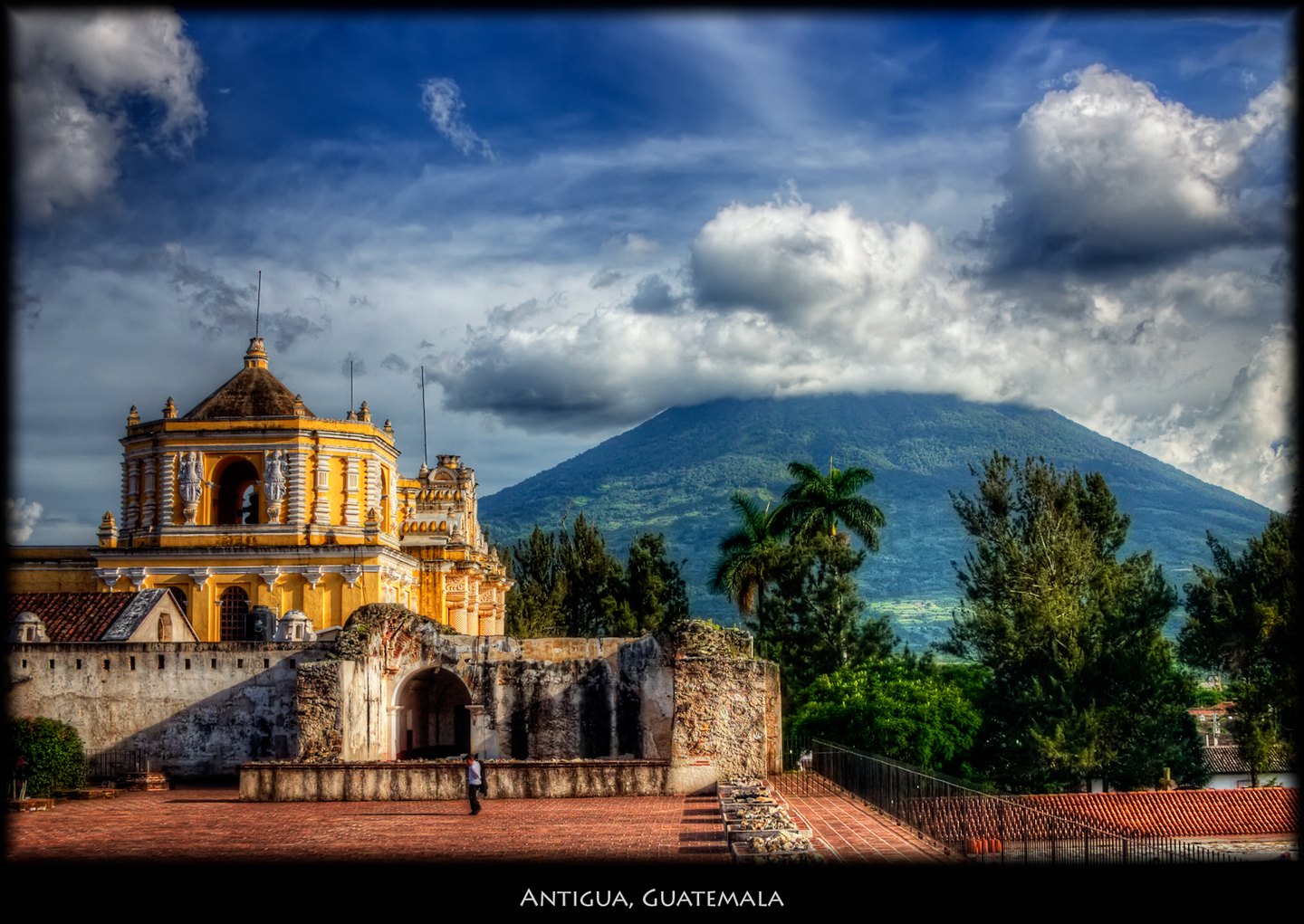
Morphology and position in the landscape
Volcán de Agua is a stratovolcano with a small summit crater open toward the north-northeast. Its forested cone forms the backdrop of Antigua Guatemala's landscape.
The Smithsonian's Global Volcanism Program documents no confirmed historical eruptions for this volcano and classifies the 1541 event as a discredited eruption. A lahar is a flow of water-saturated loose volcanic material that moves down valleys and ravines with destructive force. It can occur without recent eruptive activity, mobilizing pre-existing deposits of ash and altered rock, and does not require the expulsion of material from the volcano's interior.
The lahar of 1541 and the relocation of the capital
On 11 September 1541, a torrent of water and sediment descended the northern slopes of the volcano and buried the colonial settlement in the area of what is today Ciudad Vieja. Following the disaster, the capital was established in the valley where Antigua Guatemala now stands. The precise mechanism of the event has not been determined: the Smithsonian classifies 1541 as a discredited eruption, and the USGS has studied the phenomenon in the context of Agua's lahars without confirming the breach of a crater lake or attributing the event to a specific meteorological cause.
Geography of risk: ravines, alluvial fans, and depositional zones
The hazard map produced by the USGS traces the drainage channels down which lahars of various sizes would travel in future scenarios. The geometry of the ravines that cut across Agua's slopes channels these flows, and the depositional fans at the base of the cone determine where transported material would accumulate.
This topographic configuration explains why the potentially affected area extends beyond the volcano's visible cone, reaching terrain that appears flat but lies within the historical and geomorphological reach of these processes.