
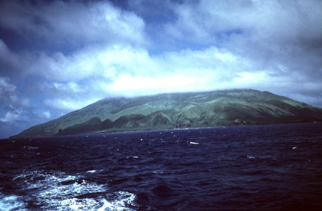
An Island That Is a Summit
Agrihan rises within the Mariana Arc, where Pacific Plate subduction has fueled volcanic construction across geological time. Its 965-meter summit is only the uppermost portion of a larger submarine volcano, with flanks that descend steeply into deep water — the island's visible footprint far smaller than the edifice below.
Caldera and Lava Delta
The upper reaches of Agrihan are dominated by an elongated caldera roughly 500 meters deep. Where the caldera opens to the northwest, erupted material has accumulated into a lava delta extending the island's coastline seaward — a constructional landform recording successive phases of effusive activity.
The 1917 Eruption
In 1917, ash, lapilli, and ballistic blocks fell on a village on the southeastern coast, forcing evacuation. The U.S. Geological Survey later surveyed the caldera during regional investigations of the Mariana Arc, contributing observational data to the geological record of the island's eruptive history.