
Key Biodiversity Area Designation and Forest Extent
The Key Biodiversity Areas programme lists Mount Afadjato and the Agumatsa Range as a single KBA, recognising the remnant forest near the Togo border as regionally significant. The Agumatsa Wildlife Sanctuary at Wli protects forest along the Agumatsa River gorge and is administratively distinct from forest reserves on the Togolese side, including the Misahöhe Forest Reserve documented in Togo.
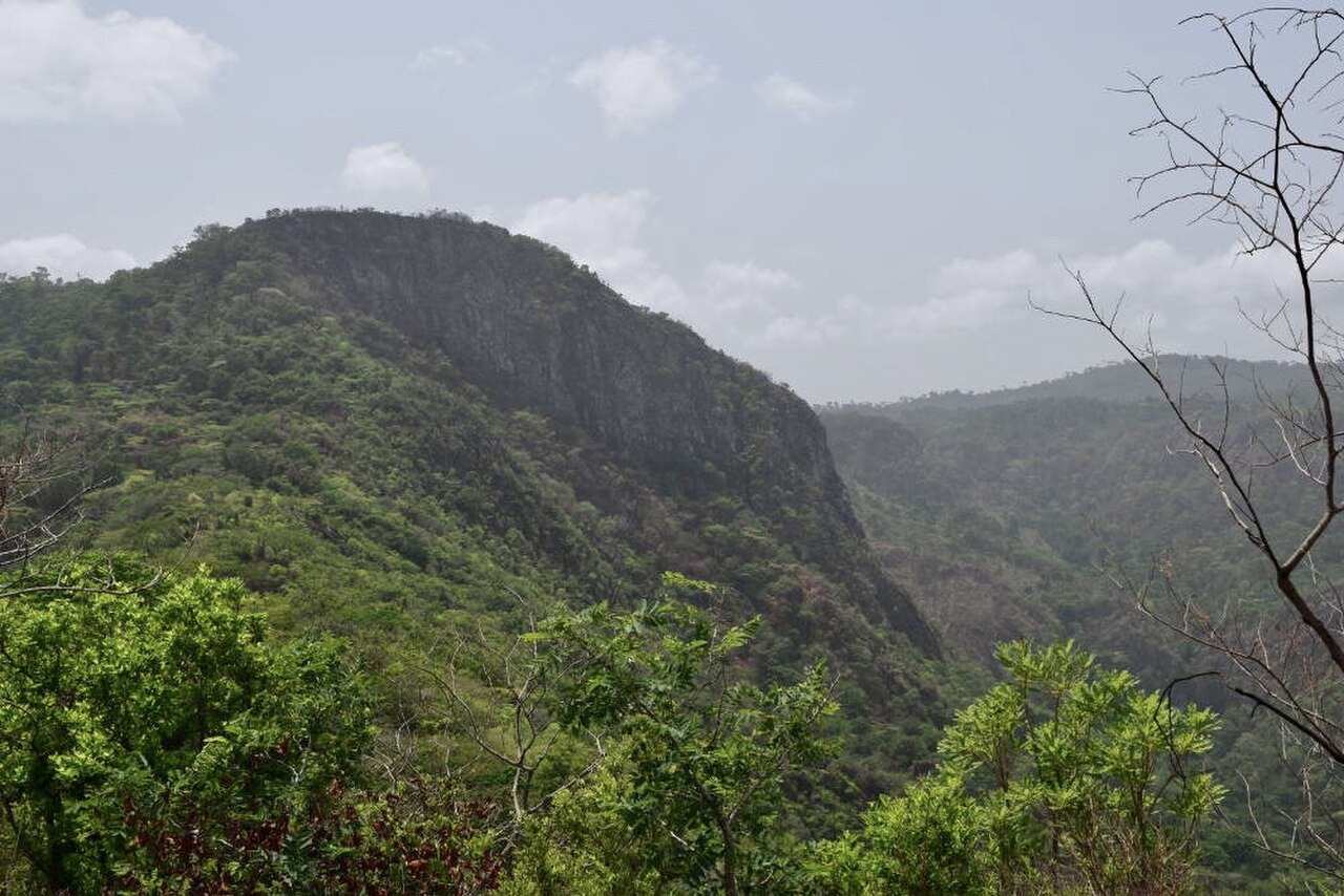
Ridge Profiles and Forest Distribution Toward the Togo Border
An African Bird Club field survey conducted in eastern Ghana in 2011 recorded bird communities across ridges running from the Togo border toward interior valleys. Survey sites included steep upland forest patches where topography concentrates moisture and canopy cover persists. The 2011 report describes transect placement across this ridge-and-valley landscape and provides species accounts grounded in that spatial scope.
Upland Fauna Documented by the 2011 Eastern Ghana Survey
The 2011 African Bird Club survey recorded forest-dependent species at upland sites within the range, contributing observational data for a part of Ghana that had received limited systematic coverage. Survey findings from that effort remain a primary field reference for the bird communities of these eastern Volta Region ridges and their forested gullies.