
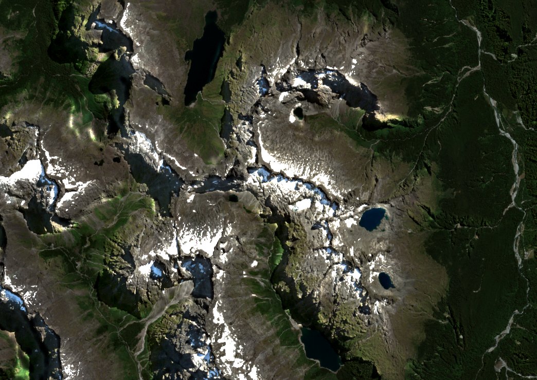
A Ridge Between Two Basins
Adelaide Peak occupies a position on the Divide that places it squarely between the basin holding Lake Adelaide to the north and the basin holding Lake Marian to the southeast. Lake Marian sits above the bush line in a hanging valley — a landform whose floor remains elevated above a deeper, trunk valley excavated by a larger glacier, so that water leaving the hanging valley spills down as waterfalls rather than joining a gradual gradient. The Department of Conservation attributes Lake Marian's setting to glacial erosion. Lake Adelaide gives the peak its official name, and the NZ Geographic Board's historical record credits B. L. Wood with that naming.
The broader regional geology reflects a Pleistocene landscape of hard intrusive rocks shaped by sustained glacial erosion, a pattern documented in the UNESCO inscription of Te Wahipounamu in 1990, which brought Fiordland National Park — listed separately in 1986 — together with three other national parks into a single World Heritage designation.
Official Recognition and Neighbouring Peaks
The New Zealand Gazette published Adelaide Peak's location in its 16 September 1954 issue under the Otago Land District heading, Caples Survey District, and repeated it in the 22 December 1954 schedule. The same Gazette entry describes Adelaide as lying southeast of Barrier Peak. A 1956 Gazette entry separately records Sabre Peak as half a mile west of Adelaide, and Marian Peak one mile west — each treated as a distinct summit. Land Information New Zealand’s current gazetteer places the summit in Southland.
First ascent and new routes
Two sources record the first ascent of Adelaide Peak but give different years. The NZ Geographic Board's historical names record credits B. L. Wood, G. Hall-Jones, and R. Ryan, dating the climb to 1954. The NZ Alpine Club's route record for the North Ridge identifies the same three climbers as Bryce Wood, Gerry Hall-Jones, and Rod Ryan, and explicitly dates their north-ridge first ascent to December 1953. The two sources name the same three climbers and give different years.
The climbing record continued with the Southwest Ridge, first ascended by Jim Milne, Richard Stewart, and A. M. Greet in January 1959, according to NZAC. In 1975, Hugh Logan and Ian Whitehouse completed the first West Face climb, descending afterward toward the Adelaide–Sabre col. The sequence illustrates the shift from established ridge lines to a deliberate face route opened two decades after the original ascent.