
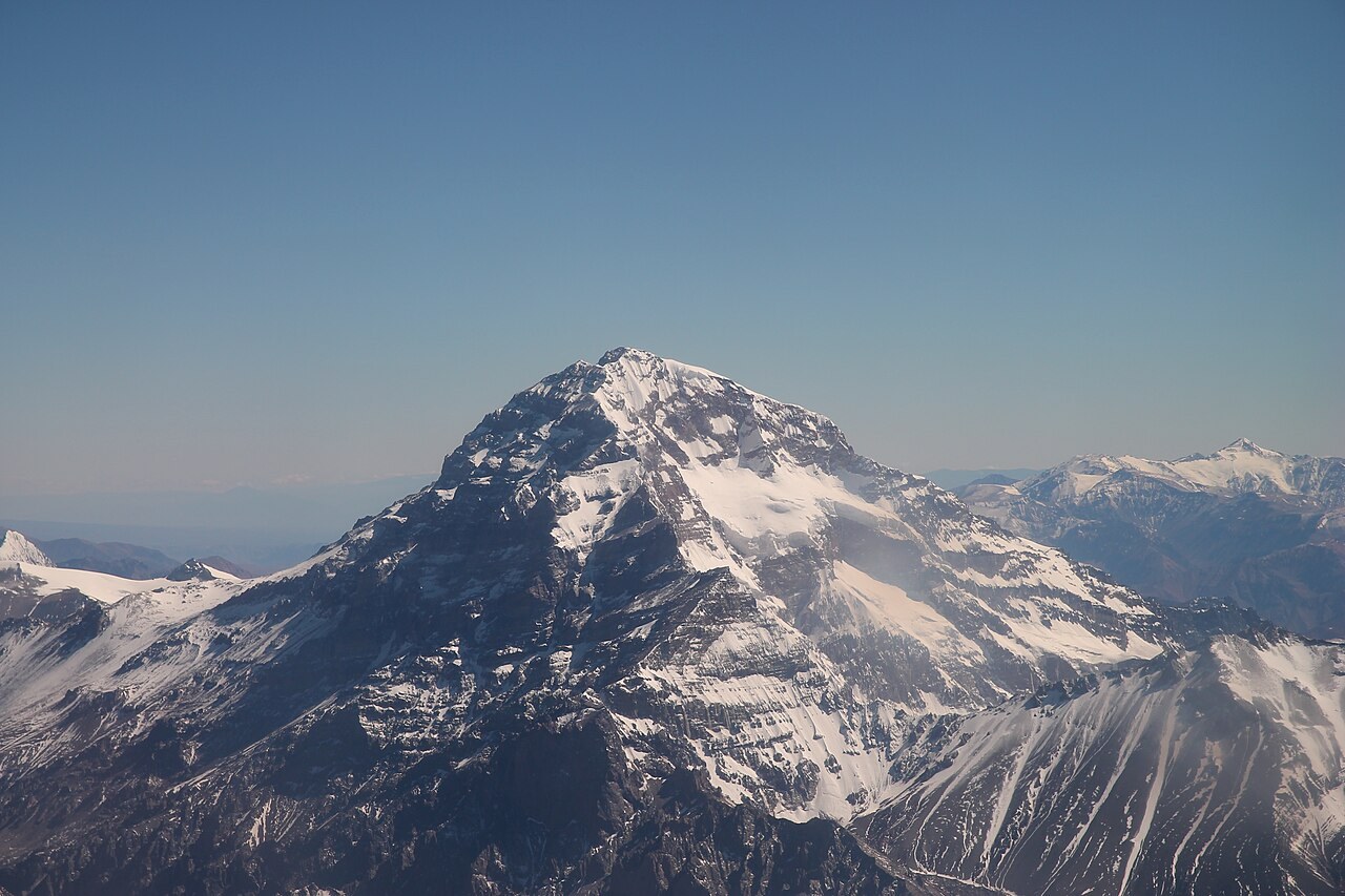
A summit measured from the cordillera
Argentina's Instituto Geográfico Nacional obtained an elevation of 6,960.8 meters above mean sea level through GPS and gravimetry surveys in 2011 and 2012. Its geographic tables express that result as 6,961 meters. The measurements took into account variations in gravity in order to refer the height to mean sea level.
Aconcagua Provincial Park has protected the summit and the surrounding valleys since 1983. Its glaciers store water. From the Horcones valley, the difference in elevation between the valley floor and the walls of the massif is clearly apparent — a contrast that the summit figure alone does not convey.
An Inca offering above five thousand meters
In 1985, a group of Mendoza mountaineers found human remains and funerary objects at around 5,300 meters, on a buttress known as the Pyramid. The team that investigated the find identified an Inca-period offering, including textiles and small figurines. The site is linked to the ceremonial significance that high mountains held for the Inca.
Part of the Andean road network that connected both sides of the cordillera passed through the Uspallata area. The proximity of that route to the ceremonial site helps explain why the valleys and slopes of Aconcagua also form part of the human history of the Andes.
From Horcones to Plaza de Mulas
Edward Fitzgerald's expedition explored the mountain's approaches in 1896 and 1897. His Swiss guide Matthias Zurbriggen reached the summit on January 14, 1897, the first documented ascent in the history of modern Andean mountaineering. The Horcones valley is where the corridor toward Plaza de Mulas — the base camp on the normal route — can be recognized.
Laguna de Horcones offers a view of the massif from the valley. On the park map, the interpretive trail around the lagoon and the corridor toward Plaza de Mulas share an access point but diverge in length, elevation gain, and destination. Telling them apart helps orient the landscapes and camps that appear in accounts of the ascent.