
The January 1925 expedition
H. E. L. Porter, Jim Rose of Auckland and chief guide Milne set off from Ball Hut on 7 January 1925. They crossed the Tasman Glacier and branches of the Murchison River and set up camp below the Liebig crest. On 8 January they traversed Priest’s Cap and went on to the Nun’s Veil. The next day they reached the summit known to them as Pt 8606, then climbed a second peak on a spur that divides the head of the Jollie River basin.
In his 1926 Alpine Journal account, Porter explained that he named the summits The Abbot and The Abbess with his companions’ agreement. The names fit a pattern they had encountered on the same ridge. The Nun’s Veil, Priest’s Cap and Acolyte already recalled religious dress and roles. Porter’s report identified Abbot by the old figure of 8,606 feet, and LINZ gives the modern elevation as 2,630 metres.
From the expedition record to the map
The 1948 New Zealand Gazette lists the names Abbot and Abbess as approved by the Honorary Geographic Board in 1925. A separate 1926 Department of Lands and Survey report records the Geographic Board agreeing to both names at its meeting on 1 March 1926. In 1972 the Gazette added Abbey Pass, locating it immediately west of Abbot.
Connections to the Crest
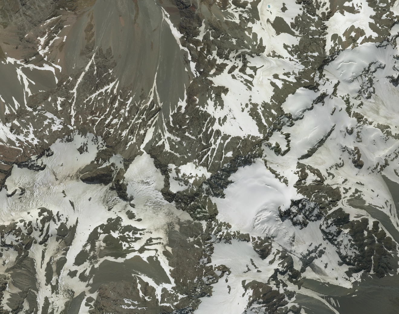
The modern New Zealand Alpine Club guide describes the crest in terms of two neighbouring features, Jollie Peak and Abbey Pass. On an aerial image, Abbey Pass appears as a low point in the ridge on the west side of Abbot. To the north-east the same ridge connects towards Jollie Peak. The terrain helps explain how Porter’s party came to identify a cluster of summits during one short expedition.